Blog Updates

Subscribe to my blog updates and receive new blog posts directly into you inbox.

Einhyrningur and Eyjafjallajökull in the background

Einhyrningur & Eyjafjallajökull Glacier

| 1 IMAGE IN THE BLOG POST | No Comments

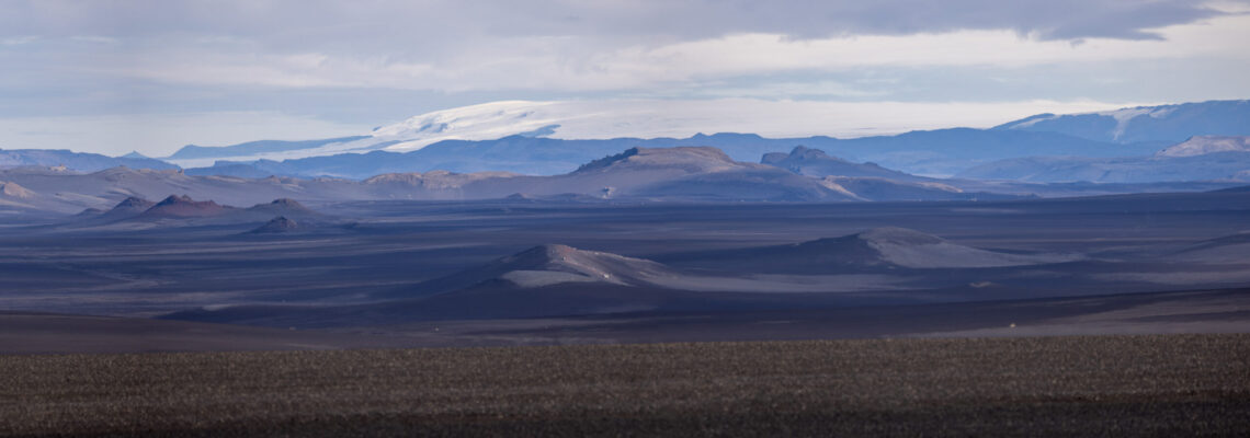
The unicorn rock, »Einhyrningur« in Icelandic. Two years earlier, I had already photographed it in completely different weather, and the sun had only come out for a brief moment. This year was completely different. It was a cloudless day in the highlands, and we could already see the glacier shining to the south of us as we drove along the banks of the Markafljót river.

We had a really great view. Einhyrningur in the foreground, the riverbed of Markafljót running through the picture from left to right and the glacier tongues of Eyjafjallajökull behind it. From this perspective, the old crater rim of Einhyrningur can be seen very clearly and at the same time it can be recognized that today’s mountain is the stump of the cooled lava in the volcanic vent.

Varmá ford at the western end of Laki Crater (with permission of Vatnajökull National Park)

Varmá River and the western Laki Crater

| 2 IMAGES IN THE BLOG POST | No Comments

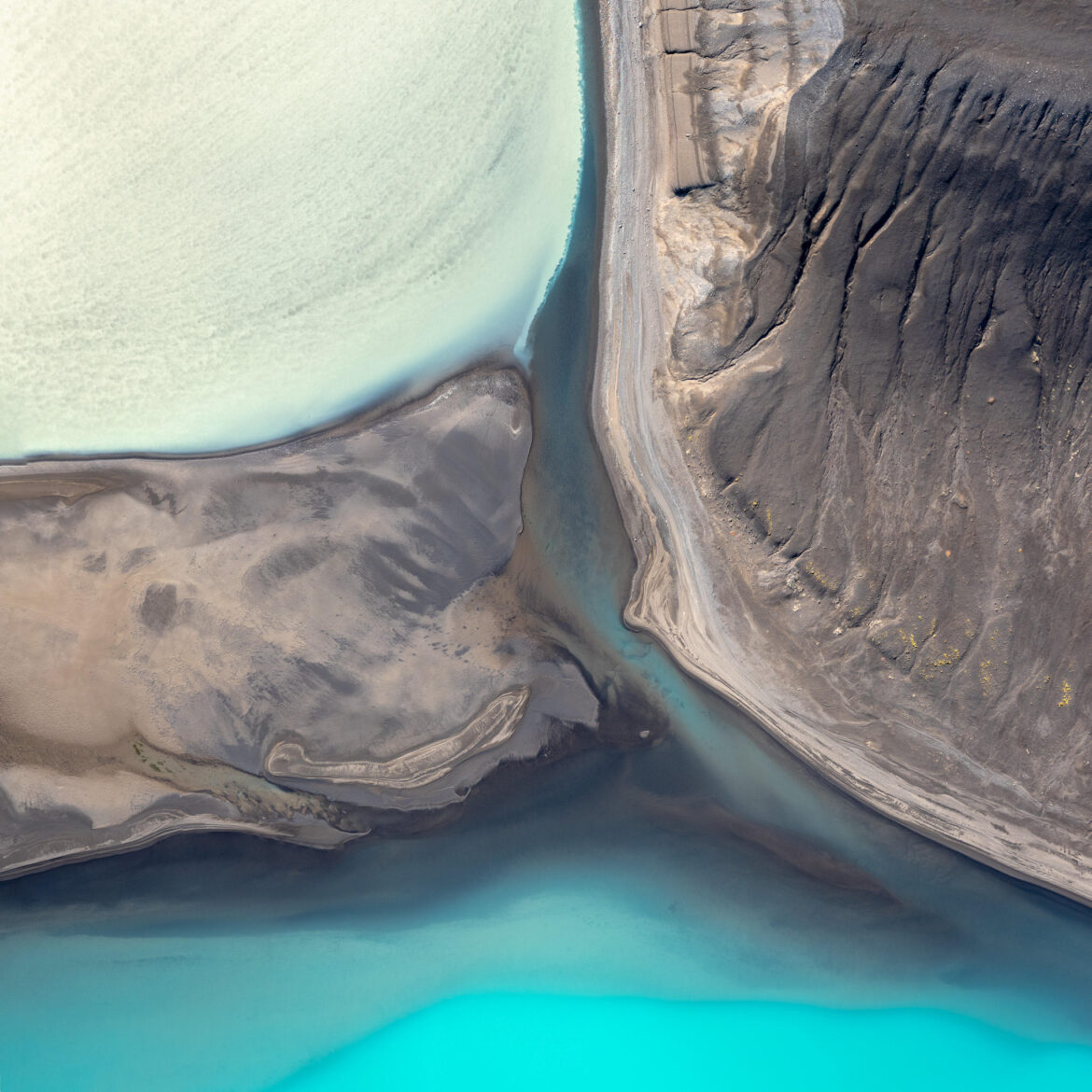
The ford of the Varmá River is very special because you first have to drive through a narrow, partly flooded channel in the volcanic rock before you cross the actual river. The river is crossed near the western end of the Laki craters, the F‑road passes through the row of craters shortly afterwards and then runs for long stretches through the lava field of the western Laki craters.

You can see this better in the second picture, where you view the craters from bottom right to top left and behind them the vast lava field. At the same time, the great structure of the water landscape of the Varmá comes into its own. read more or write a comment …

Tjarnagígur in the western Laki crater row (with permission of Vatnajökull National Park)

Tjarnagígur

| 1 IMAGE IN THE BLOG POST | No Comments

From Laki, you can continue along the F‑road to the west and drive along the crater row of Lakagígar. About halfway along the route, you will pass another parking lot with a ranger station. This is a great place to take a break as there are some tables next to the hut.

The parking lot also offers access to the Tjarnagígur crater, just a few hundred meters away. This crater is the only one in the series that is filled with a lake. The beauty of the lake comes into its own from the elevated perspective. I still had permission to fly the drone here*.

However, you can also clearly see the traces of tourism here, with dark tracks of visitors running through the moss around the crater. For many years, access to the crater has been restricted to one path, partly laid out as a boardwalk. As the moss is still not recovering, attempts are even being made here with moss implants.

For me, it is particularly important that I stick to the rules of the national park. I stay on the signposted paths and only fly the drone where I don’t disturb people or animals and have permission to fly. If you want to know more about ethics in landscape photography, Nature First explains it very well.


* Drone image with permission from Vatnajökull National Park

Mount Laki in Fog (With permission of Vatnajökull National Park)

Mount Laki in Fog

| 2 IMAGES IN THE BLOG POST | No Comments

As we were traveling with a tent, we were able to spend the night at the edge of Vatnajökull National Park or Lakagígar at the Blágil ranger station. Here too, the ranger station was no longer staffed, but there was still access to the hut with a small washroom and toilet. I wanted so much to be at Laki in the morning light.

When we woke up, the landscape around us was shrouded in mist! We quickly packed up the tent after breakfast and were back on the slope to Laki. We arrived at the mountain well before 9 a.m. and the fog was still hanging around us. I was allowed to fly the drone there until 10 a.m. and we were still completely alone.*

What an atmosphere with Mount Laki in the middle of the fog!

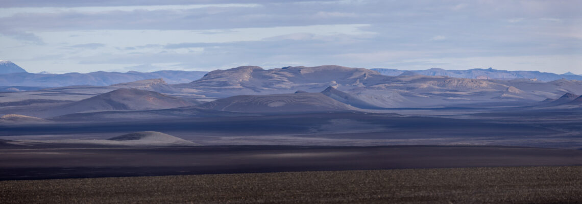
The other view over the western row of craters was also mystical and completely different from the day before. read more or write a comment …

Lakagígar

| 4 IMAGES IN THE BLOG POST | No Comments

For years, I have been fascinated by the landscape around Mount Laki and the eerie story of the eruption of the series of craters to the west and east of Mount Laki in 1783 and 1784. I have summarized the events in a separate page, but concentrated on Iceland, where the eruption had consequences far into Europe. A dry fog had been detected over large parts of the country, which irritated the lungs and eyes.

We had arrived at the foot of Mount Laki after a journey of around 40 kilometers by off-road vehicle. There is actually a ranger station there, but it was no longer manned at the beginning of September. Fortunately, the toilets had been left open! I hadn’t expected them to be designed as water toilets so high up in the highlands.

The entire course of the Laki Crater is now part of the Vatnajökull National Park. It is therefore forbidden to walk off the paths or to fly drones. There used to be a second ascent from the ranger hut at Laki, which is still marked on many maps. However, this is now closed, as are other trails around the craters.

We were almost alone, there was only one other car in the parking lot for hikers a little higher up. So we parked our car there and made our way up the 818-metre-high Laki. It is also an old volcanic cone, but was not involved in the eruption of the fissure.
On 23 of the partly very steep path, you can hike a little to the north and then have a great view of the western row of craters. Incidentally, a signposted hiking trail leads through the fissure on the slope.

Luckily for me, the sun briefly broke through the otherwise closed cloud cover and gave me a great view of the craters and the lava flow south of the craters: read more or write a comment …

Fagrifoss in strong winds and sunshine

On the way to Laki

| 1 IMAGE IN THE BLOG POST | No Comments

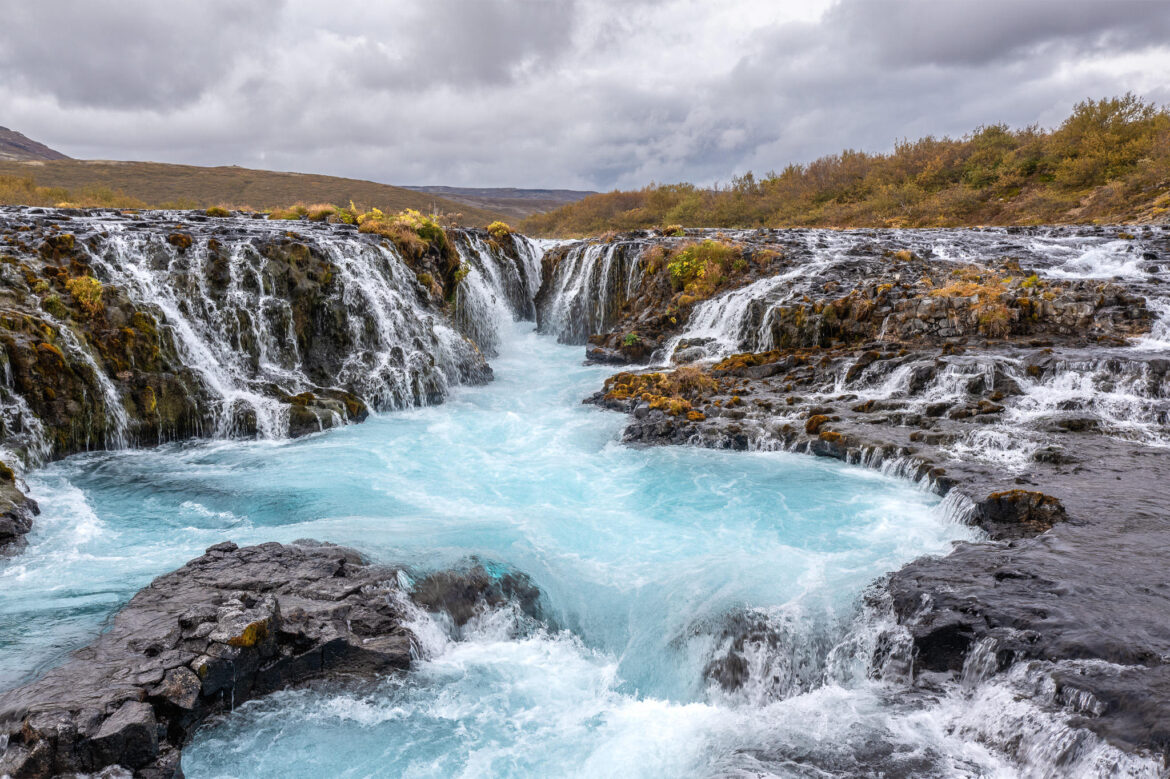
On the way to Lakagígar, the Laki craters, you have to cross several rivers. The riverbed of the Geirlandsá is particularly beautiful to cross in its wide gravel bed. Immediately after the crossing, you can turn south and take a short detour to the parking lot at the Fagrifoss waterfall. The footpath to a viewing platform is only a few hundred meters long. Incidentally, Fagrifoss translates as »beautiful waterfall«, which I can certainly confirm, especially if you can see it in sunlight.

The waterfall falls over 80 meters down a few steps, widening as it continues. Like long hair lying over shoulders.

1 2 3 4 5 6 7 70