Blog Updates

Subscribe to my blog updates and receive new blog posts directly into you inbox.

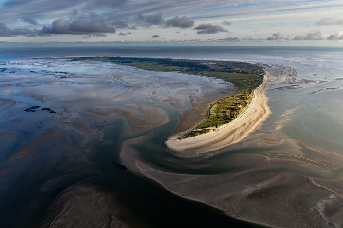
Amrum in golden light (0388)

Amrum — with Amrum Odde in golden light

| 1 IMAGE IN THE BLOG POST | 1 Comment

The longer we were in the air that evening, the more bands of clouds made themselves noticeable in the west over the North Sea — the sun only came into effect a little and the Wadden Sea looked mostly gray and boring again. We were looking for a few spots of light and were turning just north of Amrum when a beam of light hit Amrum Odde and the mudflats to the east.

What a magnificent sight!

Only the Odde was shining in the warm evening light, the rest of the island of Amrum was in shadow, even the Kniepsand could hardly be made out in the main part of the island. Behind the glowing Odde, the island curves through the picture.


This is a picture, how one gets it from nature only rarely. I was once again lucky to have been at the right time in this place.
Norderoogsand (0228)

Norderoogsand

| 1 IMAGE IN THE BLOG POST | No Comments

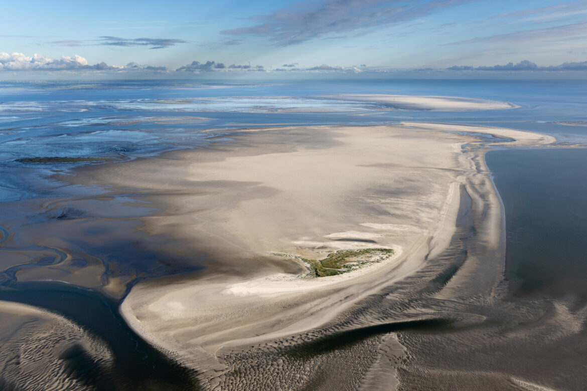
The middle of the three outer sands in the Wadden Sea National Park and just as special. Since the 1990s, a new island is emerging in the northwest of the sand. At first, only dunes that overtopped most floods, now beach grass and other crops of the Wadden Sea. However, one can see here very clearly that storm surges have left their mark on the dunes. Therefore, one can continue to watch with interest how this dune island and the Norderoogsand as a whole will change with the rising sea level.

In the background you can still see the Süderoogsand, with its rescue beacon in the center. A little further behind it on the left, the Hitzsand and the dune belt of St. Peter-Ording can still be seen very faintly.

Hooger Loch (0225)

A (still existing) passage

| 1 IMAGE IN THE BLOG POST | No Comments

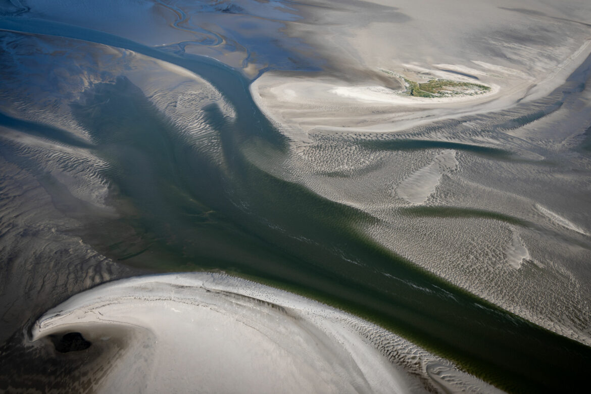
Between the Norderoogsand and the Japsand further north, there is still a tidal channel that drains the Hoogeloch. It is expected that it will silted up in the near future, because the Norderoogsand is expanding strongly to the north-east and has already swallowed a tideway between the Hallig Norderoog and the sand.

In my picture, however, you can still see the strong tide flow »opposing« the siltation. At the top of the picture you can see the dune island on Norderoogsand, which has been developing since the end of the 1990s and has already survived many storm surges. It is being scientifically monitored by the National Park Authority.

Overflow (0175)

Overflow at Norderoogsand

| 1 IMAGE IN THE BLOG POST | No Comments

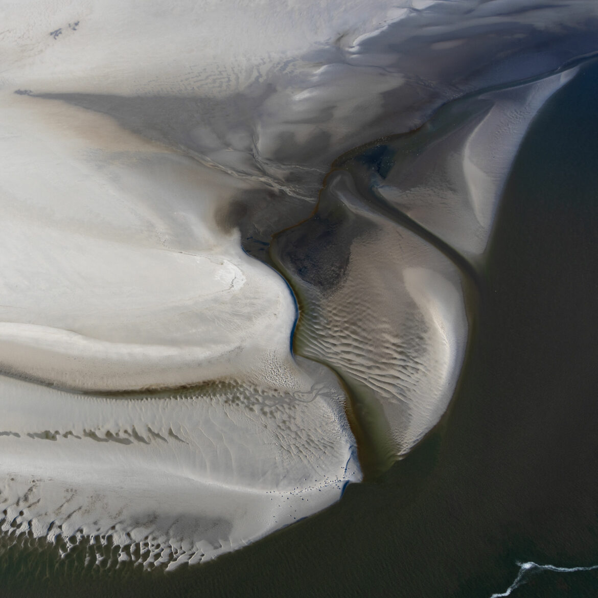
The south coast of Nordoogsand has looked like this for many years. As I flew over here now, I remembered one of the seal safaris we had done between 2016 and 2019. That’s when we had mostly docked at this overflow and hiked to the west coast of the sand as it progressed. The seal colony on its southern edge was always the motif of our safari on the way there or back. Here you can also clearly see the small colony of seals.

Isn’t it fascinating what shapes nature can create with water and sand? And in addition with such constancy, storm tides and the constant change in the Wadden Sea notwithstanding!

View to the island of Pellworm (0166)

Tidal Basin Rummelloch

| 1 IMAGE IN THE BLOG POST | No Comments

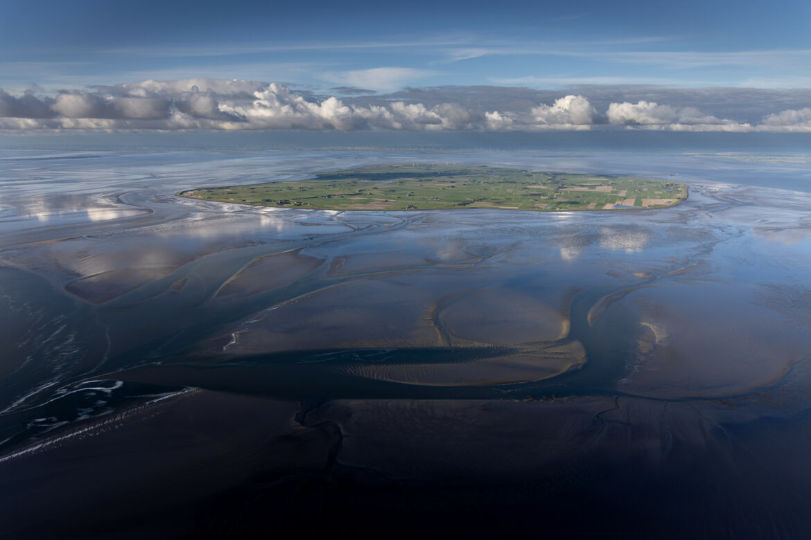
Flying over the Süderoogsand the view opened to the east over the tidal basin of the Rummelloch. The Rummelloch is the tideway that separates the Süderoogsand from the Norderoogsand and runs along between Pellworm and Hallig Hooge. The tidal basin belonging to the tideway lies between the island of Pellworm and the Süderoogsand and is bordered in the south by the Heverstrom.

I love at this picture the looming tidal flats and further on Pellworm the reflecting clouds. Behind it lies like in a sink the island Pellworm, one can recognize in the north very clearly that it goes down behind the dike. Pellworm lies about one meter below sea level!

Süderoogsand (0112)

Süderoogsand

| 1 IMAGE IN THE BLOG POST | 2 Comments

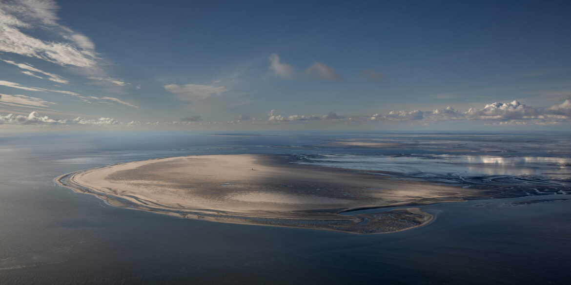
Southwest of the island of Pellworm lies the largest of the 3 so-called outer sands of the North Frisian Wadden Sea, the Süderoogsand. Between Pellworm and the sand is Hallig Süderoog, which is inhabited by a small family of 4 on behalf of the National Park Schleswig-Holstein Wadden Sea.

In the middle of the Süderoogsand you can recognize the life beacon, which once stood close to the wreck of the Ulpiano and thus on the western edge of the beach. In 2017 it was newly erected in the middle of the sand.
In the background you can see in the same color the Norderoogsand and a bit further the Japsand, which lies in front of Hallig Hooge. And if you look closely, you can see the island of Amrum to the left, which is characterized above all by the large green belt with the Kniepsand in front of it.

The Backside (0141)

Backside (of Süderoogsand)

| 1 IMAGE IN THE BLOG POST | No Comments

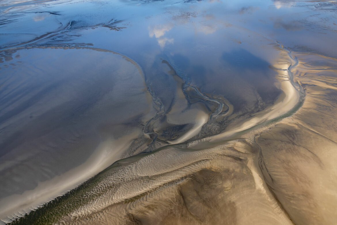
At the transition of the large outer sands to the tidal flats. The sun illuminates the sandy bottom, while the clouds are reflected on the still slightly overwashed mudflats. The two main colors in this motif alone impress me — blue and yellow/brown. In addition, the many structures of the tideways that run through the picture.

This is Wadden Sea National Park!

1 17 18 19 20 21 22 23 70