Highland mountains and an historic lava flow
Sun and cloud mix and the right distribution of light. In the shade, an old lava flow runs through the picture in the foreground and the mountains glow in the background.
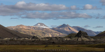
Sun and cloud mix and the right distribution of light. In the shade, an old lava flow runs through the picture in the foreground and the mountains glow in the background.
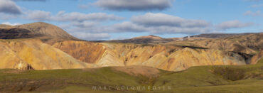
On the way out of the highlands, we repeatedly had great views of the complex mountain landscape of the highlands. Rhyolite valleys open up in front of mountain peaks and the sun does the rest to make the rhyolite glow. … read more or write a comment …
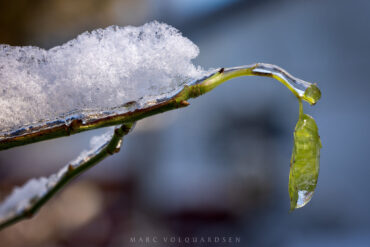
After 4 months of Iceland pictures (with a few more to come!) and a longer break from blogging, where I spent more time baking baguettes and growing sourdough, I would like to use this picture to remind you of the … read more or write a comment …
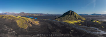
It’s so nice to let your gaze wander along the river. Just leave Mælifell to the right, see how the blue sky is reflected in the river and how the river then turns to the right to run along the … read more or write a comment …
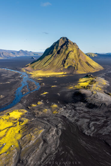
Mælifell is the most frequently photographed volcanic cone in the Icelandic highlands. Why is that? There are certainly a few reasons. Its striking symmetry. Its almost complete moss cover, in contrast to the black sander from which it rises. In fact, … read more or write a comment …
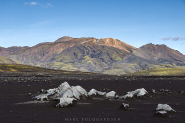
Torfajökull is the large volcano south of Landmannalaugar that is responsible for many rhyolite in the landscape around Landmannalaugar. It was once a subglacial volcano, meaning that it erupted under the ice. Here I look from the black Mælifellssandur up … read more or write a comment …
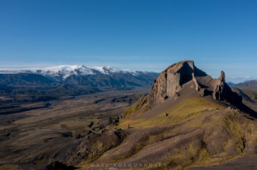
The unicorn rock, »Einhyrningur« in Icelandic. Two years earlier, I had already photographed it in completely different weather, and the sun had only come out for a brief moment. This year was completely different. It was a cloudless day in … read more or write a comment …
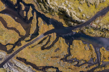
The ford of the Varmá River is very special because you first have to drive through a narrow, partly flooded channel in the volcanic rock before you cross the actual river. The river is crossed near the western end of … read more or write a comment …
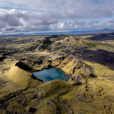
From Laki, you can continue along the F‑road to the west and drive along the crater row of Lakagígar. About halfway along the route, you will pass another parking lot with a ranger station. This is a great place to … read more or write a comment …
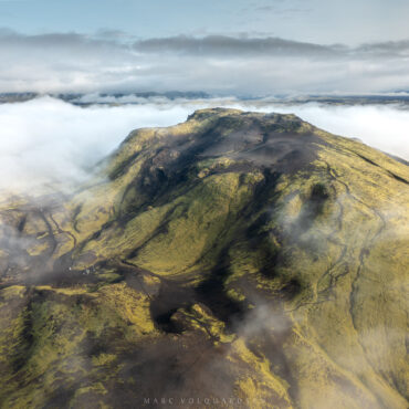
As we were traveling with a tent, we were able to spend the night at the edge of Vatnajökull National Park or Lakagígar at the Blágil ranger station. Here too, the ranger station was no longer staffed, but there was … read more or write a comment …
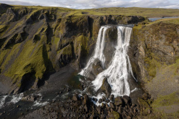
On the way to Lakagígar, the Laki craters, you have to cross several rivers. The riverbed of the Geirlandsá is particularly beautiful to cross in its wide gravel bed. Immediately after the crossing, you can turn south and take a … read more or write a comment …
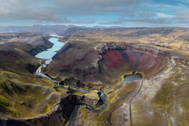
Rauðibotn & Hólmsárlón from above. It shows so beautifully how this particular crater is embedded in the landscape of the Icelandic highlands. I wonder why the crater is called »red ground«. It is only green because of the moss, underneath … read more or write a comment …